UNIQUE PLACES
ANCIENT CITY OF TEISHEBAINI (KARMIR BLUR)
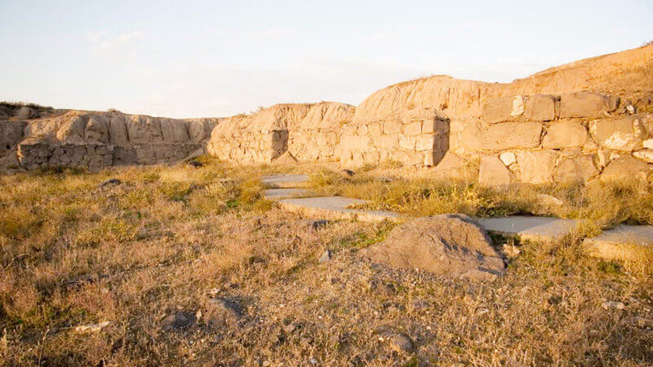
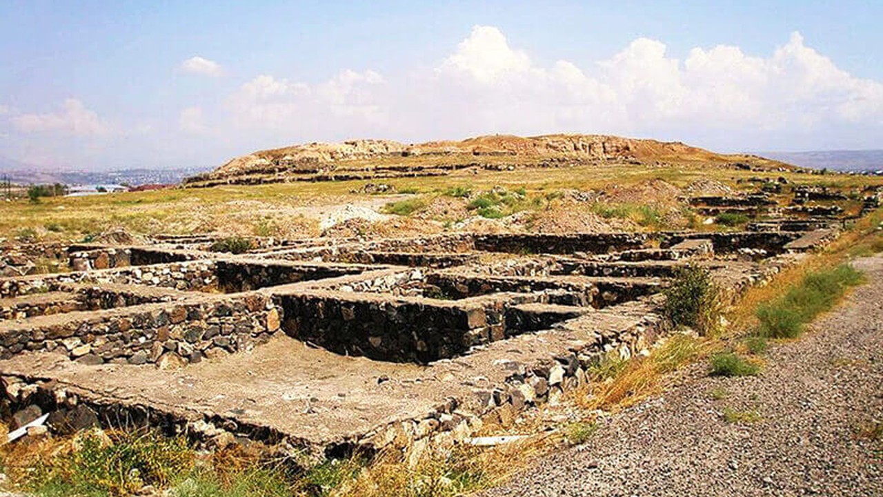
The Karmir Blur (Red Hill) archaeological site is one of the most famous and important monuments in Armenia. It is the first studied Late Bronze Age-Early Iron Age monument group in Armenia, which is of key importance in the development of Urartian studies.
The Teishebaine city site is located in
the southwestern part of Yerevan, on the southern (left) bank of the Hrazdan
River, near Verin Charbakh and the existing cemetery. The pre-Urartian fortress
of the site is one of the most important fortresses in the Yerevan area, where
people lived as early as the 13th century BC.
BC The fortress city built in the 7th
century was named Teishebaini by Rusa II (685-645 BC), the son of King Argishti
I. It was named after Teishebaini, the god of thunder and war in the Urartian
pantheon.
Excavations show that the oldest
settlement of the Late Bronze and Early Iron Ages in the Karmir Blur area was
built on a high promontory on the left bank of the Hrazdan River, where life
began in the 13th-11th centuries BC and survived until the 9th century BC. The
fortress city was built to replace the Urartian center of Erebuni in the Ararat
Valley. It was destroyed by the Scythians or the Mards in 630-600 BC. Later, in
the Achaemenid and early Hellenistic periods (6th-3rd centuries BC), the area
of the city was transformed into a tomb
field (late 6th century BC - 3rd century AD), where the discovered burials are
of the earthen or slab type. The wall stones of Urartian buildings were also
used for the construction of the tomb chambers. The deceased were mainly buried
in a crouched position, lying on their sides, or in a sitting position. In the
Middle Ages (12th-13th centuries), a church was founded on the top of the hill,
a dastakert. In an 18th century manuscript, Karmir Blur is called "Kavakert"
(made from clay).
Excavations of the monument began in 1939
and have continued with some interruptions to the present day. The thickness of
the cultural layers is about 4 m. Various pottery vessels and fragments, bronze
and iron weapons (spearheads and daggers), bracelets, beads, barley remains,
cow, goat, pig, horse, donkey bones, coins, etc. were found. The silver coin of
Alexander the Great is noteworthy.
The residential district (12-11th
centuries BC, 7-6th centuries, state index: 1.11.22.1) extends west of the
citadel. On both sides of the main street (width: 6 m), excavations revealed
adjacent or separately built residential houses dating back to the 7-6th
centuries BC: the House of the Notable Urartian, the Sectional House, the
Megaron-type House. The houses were above ground, built of boulders, rubble,
and filled with gravel and clay. They consisted of one large and 5-6 small
rooms. Wood and reeds were used for covering. Hearths, large grain pits, and
stone anthropomorphic idols were found in the large rooms. Remains of poor huts
were also discovered, which are structures from the last period of the Van
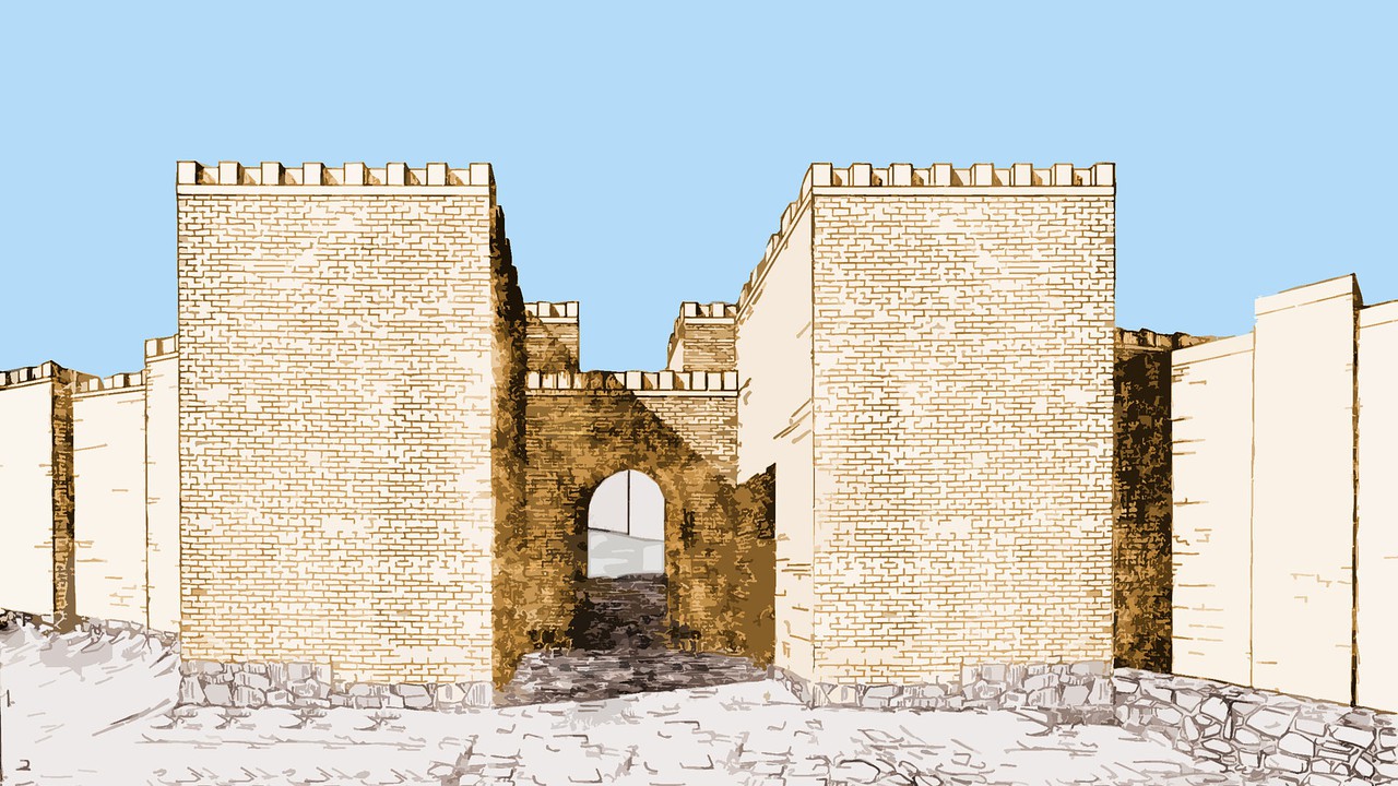
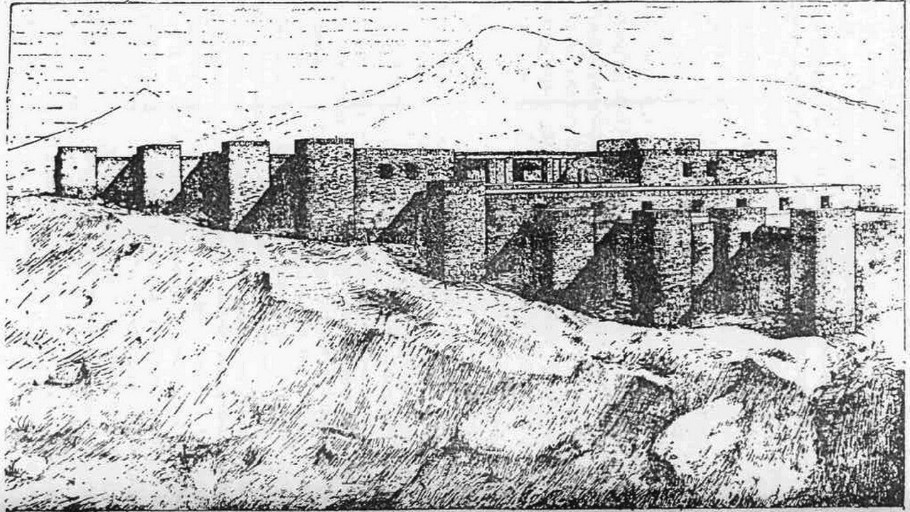
Kingdom's rule, when the elite left the city. The citadel (state index:
1.11.22.2), dating back to the 7th-5th centuries BC, is located on the edge of
a flat plateau, on a hill. It is a horseshoe-shaped building consisting of 40
adjacent, narrow and long, small and medium-sized rooms, the ends of which were
connected by a powerful wall, creating a courtyard. Massive, rectangular towers
were built at the corners, as well as at important places for defense. It had
two gates: the main (southern) and the small (northwestern). The central and
partly eastern parts of the citadel were two-story. A small part of the upper
floor has been preserved. The floor is made of several successive layers of
brick and mortar, and the wine cellars on the lower floor, where 350-1300 l
jars were stored, were covered with gravel and sand, tamped and plastered with
clay from above.